| International: September 6: China has stepped up weather and satellite-based assistance to Nepal following recent landslides in the country. To support disaster monitoring and emergency rescue operations, China is providing Nepal with satellite data and a range of weather services.
The China Meteorological Administration (CMA) said Nepal is receiving various weather information through “Machu,” China’s artificial intelligence-based weather forecasting and early warning system. The information also includes data obtained from the Fengyun-3 and Fengyun-4 series of meteorological satellites.
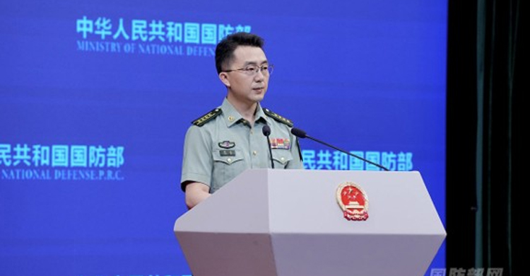
Chinese Foreign Ministry spokesperson Guo Jiakun said that since the landslides, China’s meteorological and water resources authorities have been working closely with their counterparts in Nepal. They have been regularly exchanging information and working jointly on disaster response efforts.
A devastating landslide occurred on August 26 in the Jilong-Rasuwagadhi border area along the China-Nepal frontier. Since then, China’s National Satellite Meteorological Center has been regularly monitoring rainfall and weather changes in the area.
China is also using high-resolution satellite imagery to assess the damage caused by the disaster and support rescue operations. The data are being used to monitor areas vulnerable to ice and rock avalanches in the mountains, as well as changes in river courses.
The China Meteorological Administration has directly linked weather services specially developed for Nepal with the Fengyun satellites. As a result, Nepal is able to monitor thunderstorms, rainfall and other adverse weather conditions over large areas in real time.
Source: Nahar–Sakib, Xinhua.
|